Beginner's Guide to the Subway
The subway is the largest part of Boston’s public transit system, with more than 700,000 trips each weekday. It is often referred to simply as the T (the “T” from MBTA—the Massachusetts Bay Transportation Authority).
The trains—or trolleys, as they’re sometimes called here—connect downtown Boston to communities within and near the city.
In this guide, we’ll talk about the basics of the system, and we’ll explore each line and where it can take you. Sit back and enjoy the scenery—each line runs at least partially above ground!
Getting to Know the Subway
Wherever you’re going in Greater Boston, the T can help get you there. Here are some basics of the subway.
Taking Your Trip
Here are some things to keep in mind at your station or stop, when you board your train, and while on your trip.
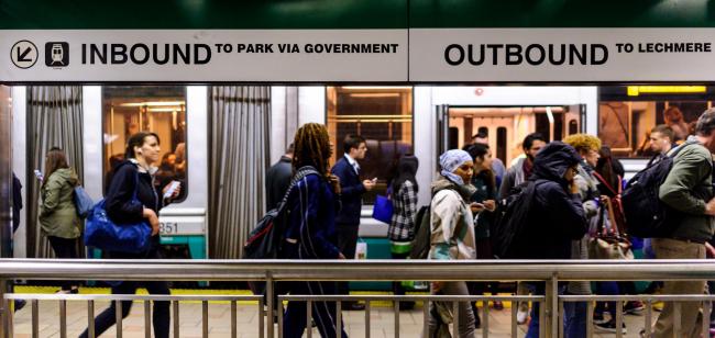
Inbound is always toward the 4 stations near Boston Common:
Outbound service travels away from those stations.
The T gets crowded. We ask customers to follow a few rules for the comfort and safety of everyone on board:
- Let passengers exit the vehicle before attempting to board, especially during rush hour.
- When boarding, please move all the way into vehicle, as far away from the doors as possible. This helps make room for other passengers.
- Only take up one seat. If you have a seat and no other seats are available, please offer your seat to older adults, pregnant women, and people with disabilities.
- Take off your backpack, and keep large personal items on the floor and out of the way.
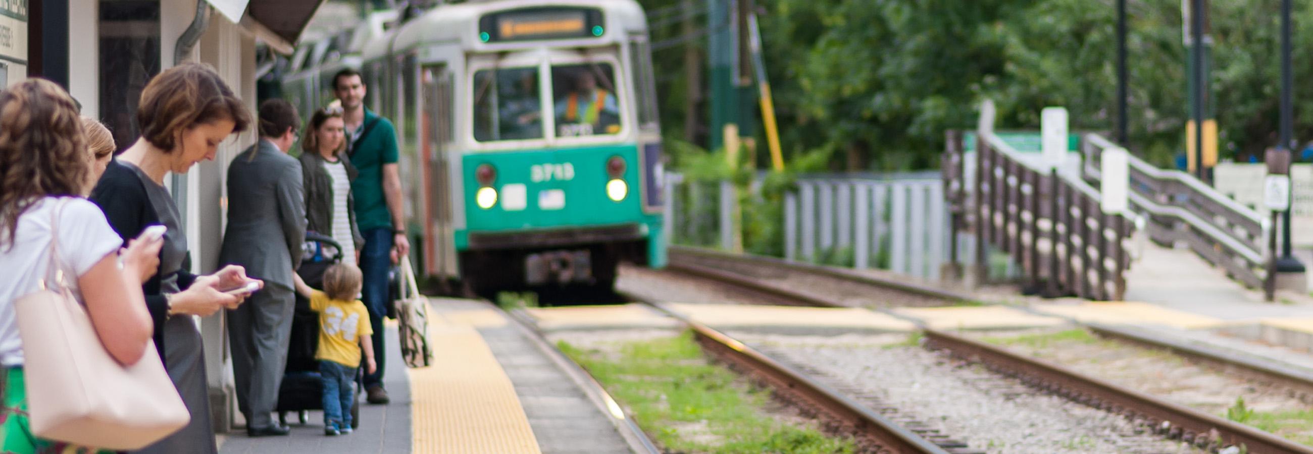
The Green Line
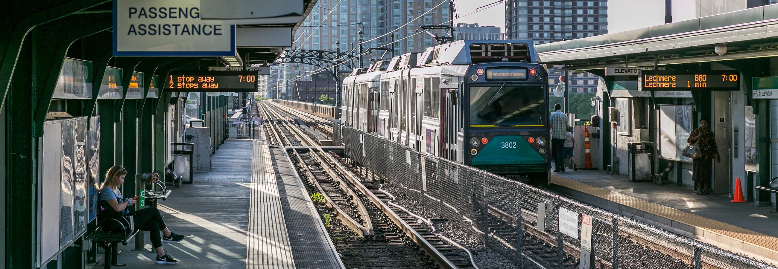
The Green Line serves an average of 93,000 customers each weekday. This light rail line has four branches to the west and north of Boston, connecting eight different cities and towns to the downtown area.
The Green Line got its name because it travels through Boston’s Emerald Necklace park system.
All of the Green Line trolleys reach:
At Symphony, Symphony Hall is home to several of Boston’s musical institutions:
Find some of Boston’s biggest museums are also on the E Line:
- Museum of Fine Arts (Museum of Fine Arts)
- Isabella Stewart Gardner Museum (Museum of Fine Arts)
- Museum of Science (Science Park)
Sports fans will find:
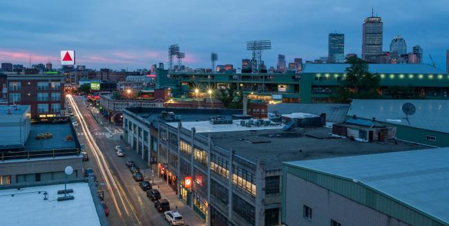
- Fenway Park, the home of the Red Sox, at Kenmore
- TD Garden, the home of the Celtics and the Bruins, at North Station
The C Line runs parallel to the Boston Marathon course, which takes place each Patriots Day—the 3rd Monday in April each year.
And as for Boston’s beautiful Emerald Necklace? Access landscape architect Frederick Law Olmstead’s gem via the D Line or E Line, which run alongside it.
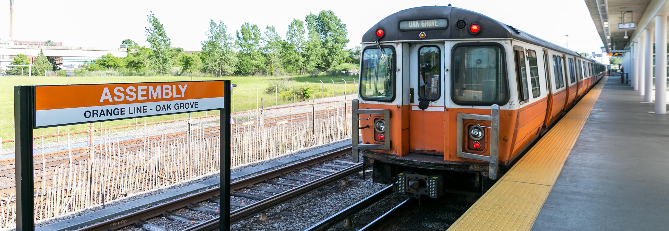
The Orange Line
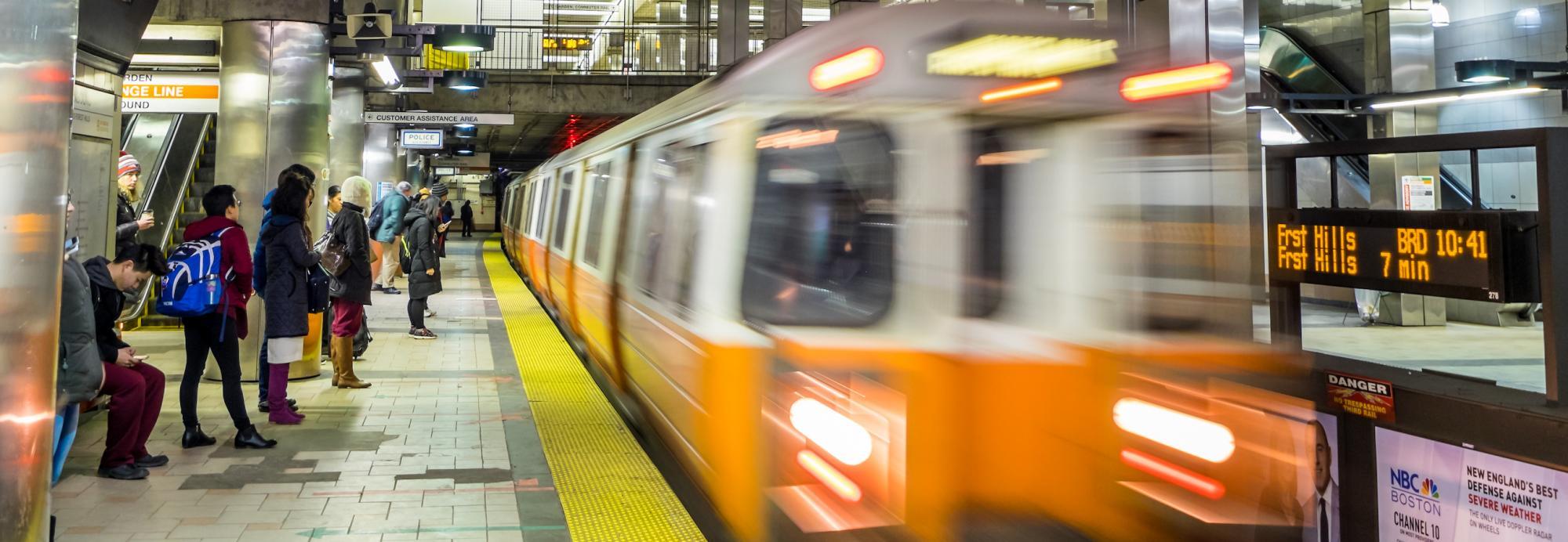
The Orange Line serves an average of 96,000 customers each weekday. This heavy rail line runs south from Malden through downtown Boston and into the Jamaica Plain neighborhood.
The Orange Line gets its name from its route under Washington Street, which was formerly named Orange Street, via Downtown Crossing, Chinatown, and Tufts Medical Center.
The Red Line
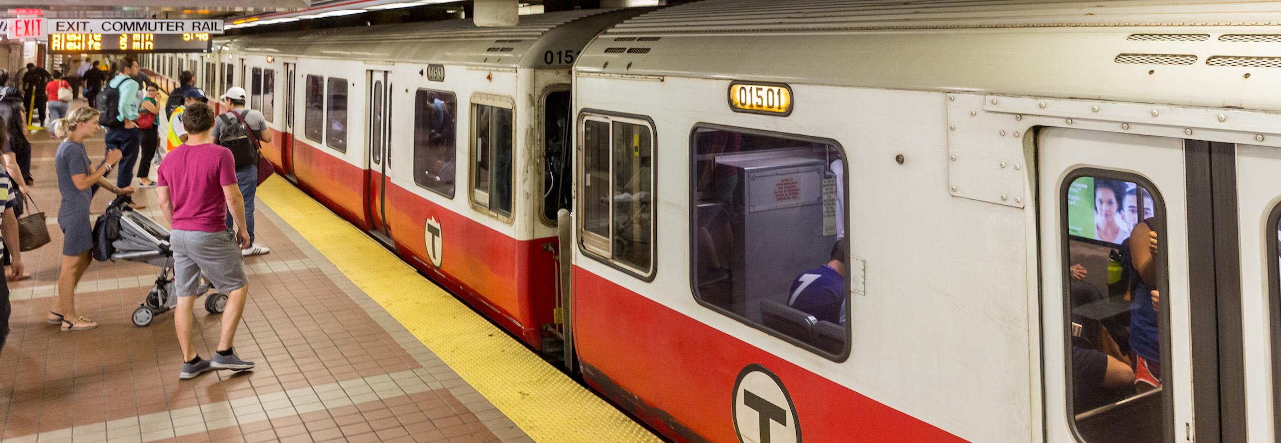
The Red Line serves an average of 122,000 customers each weekday. This heavy rail line runs south from Cambridge into Boston and South Boston, and branches into two sections south of JFK/UMass. The Braintree branch travels through Quincy (on the South Shore), and the Ashmont branch travels through Boston’s Dorchester neighborhood. From Ashmont, the Mattapan Trolley offers light rail service to Milton.
The Red Line got its name because it travels through Harvard University, home of the Crimson.
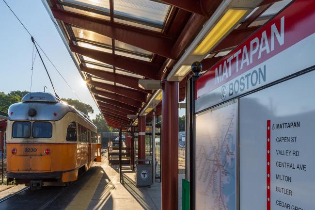
The Mattapan Trolley provides light rail service from Dorchester to Mattapan as an extension of the Red Line.
Customers can transfer to the Mattapan Trolley at Ashmont. If paying with a CharlieTicket or CharlieCard, you can make 1 transfer for free within 2 hours of your first payment. No transfers are available when using cash.
The trains along this route are from the Presidential Conference Car (PCC) fleet, built in 1945-46. Riding the 2.5-mile line is like taking a trip back in time.
Did you know? The MBTA’s light rail system, including the Mattapan Trolley and the Green Line, ranks 2nd in ridership nationwide.
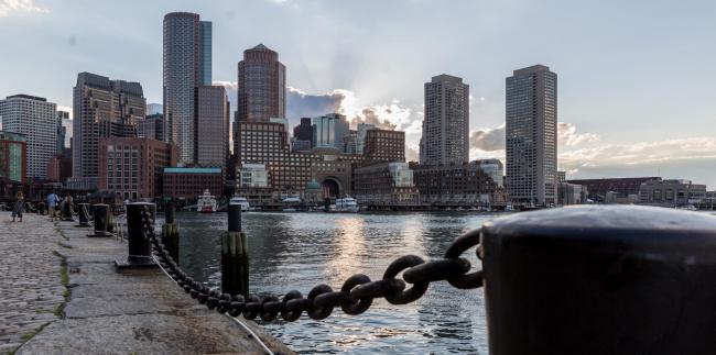
At South Station, many Boston landmarks are close by:
At Park Street, historic sites are just steps away:
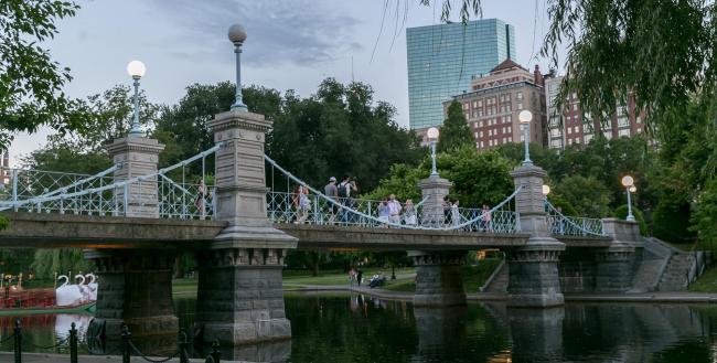
- Boston Common
- Public Garden
- Beacon Hill
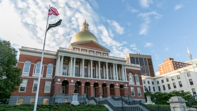
- State House
At Downtown Crossing, check out shopping and dining destinations
At Charles/MGH, the Charles River Esplanade is right across the street.
At JFK/UMass, make your way to the John F. Kennedy Presidential Library and Museum and the Edward M. Kennedy Institute for the United States Senate. They are side-by-side and about a mile away. Free shuttle service is provided from the station during the day.
The Blue Line
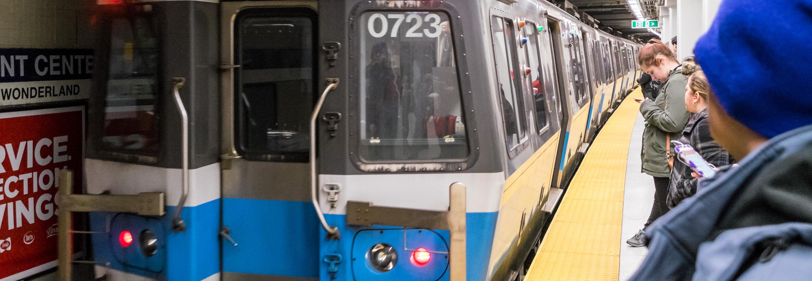
The Blue Line serves an average of 39,000 customers each weekday. This heavy rail line travels from Revere, on the North Shore, into Boston, where it ends near the historic Beacon Hill neighborhood.
The Blue Line got its name because it travels underneath Boston Harbor and along the Atlantic Ocean.
At Revere Beach and Wonderland, see the beauty of the ocean and hit the beach.
At Suffolk Downs, check out Belle Isle Marsh Reservation, Massachusetts’ last remaining salt marsh.
At Aquarium, many Boston landmarks are nearby:
- Rose Kennedy Greenway
- Christopher Columbus Waterfront Park
- New England Aquarium
Bowdoin is at the base of Beacon Hill and a short walk from:
- Massachusetts State House
- Historic Charles Street
- Museum of African American History
And Government Center is on City Hall Plaza, which is across the street from Faneuil Hall Marketplace.
Planning an Accessible Trip
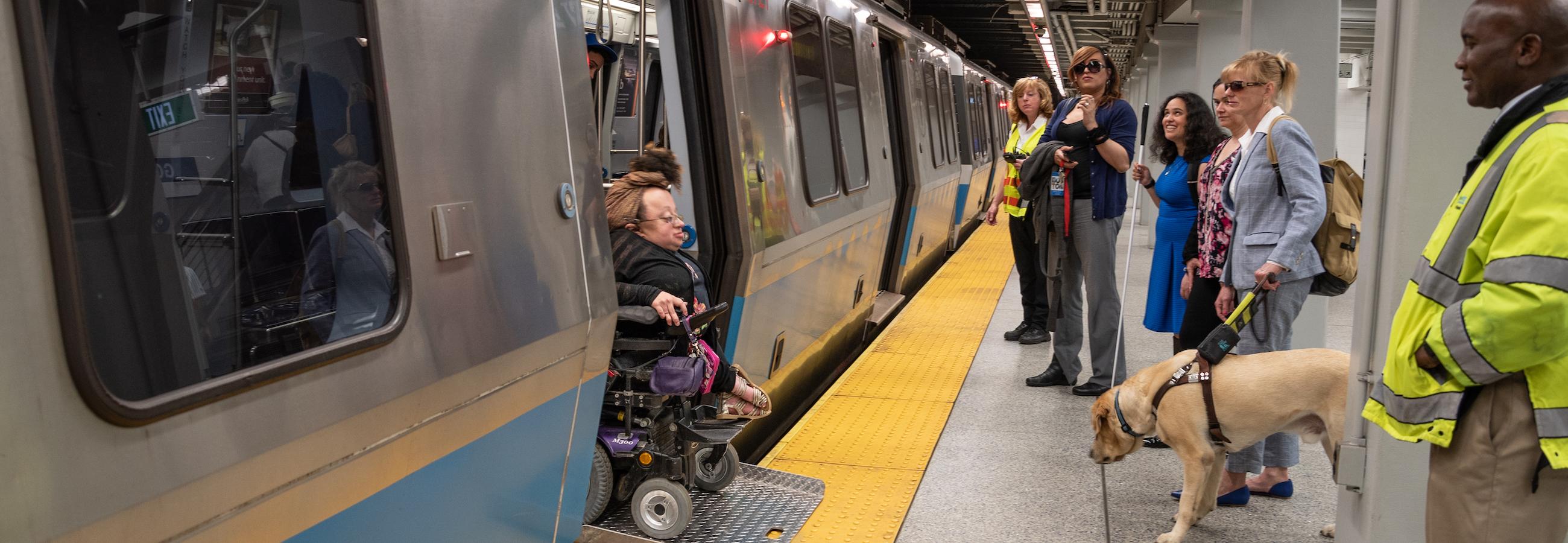
Many subway stations are accessible to people with disabilities, and we offer trip planning assistance to help you get the most out of your journey on the MBTA.
If you are 65 or older or a person with a disability, you may be eligible for reduced fares.